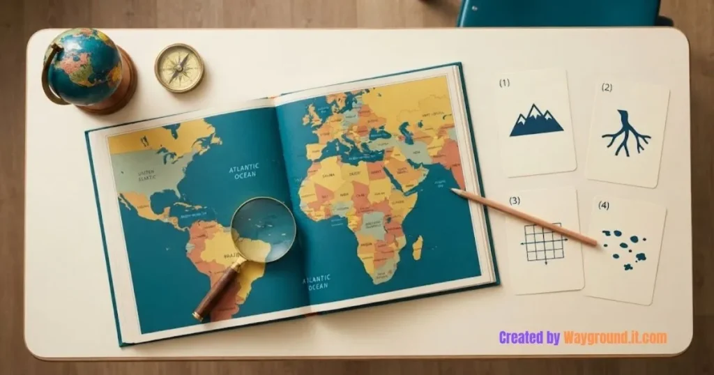

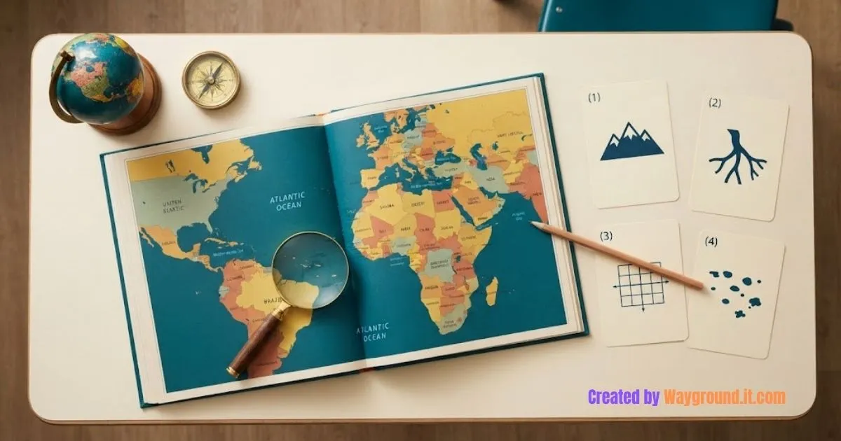
Geography mystery games ask students to identify a country or city by combining clues from maps, physical features, and coordinates. Start with several possible answers, reveal evidence, and ask students to explain which places they can rule out. A correct guess counts only when they can support it.
The four activities below give you ready-to-use clues, teacher answers, and hints. They are designed for middle school geography, with simpler options for students still learning map skills.
You need an atlas or labeled maps, pencils, and paper. No student accounts or paid game subscriptions are required.
What makes a geography mystery worth solving?
A useful mystery gives students enough evidence to narrow their choices without revealing the answer immediately. Each clue should contribute something: a continent reduces the search area, a coastline narrows it further, and a named physical feature can confirm the location. Students should be able to explain that narrowing process.
“Guess the country with mountains” is too open-ended. “Find a South American country with the Pacific Ocean along its western side and the Andes along its eastern side” gives students features they can investigate.
There are two useful kinds of location evidence. National Geographic distinguishes absolute and relative location: coordinates identify a precise position, while relative location describes where something sits in relation to other places.
These games use both.
| Game | Main geography skill | Materials |
|---|---|---|
| Progressive clue trail | Combining physical features | South America physical map |
| Eliminate the impostors | Comparing rivers and coastlines | Africa map with rivers |
| Coordinate detective | Reading hemispheres and coordinates | World map with latitude and longitude |
| Repair the evidence | Checking geographic claims | East Asia map and atlas |
How do you set up the games?
Prepare the maps before the lesson and copy only the student clues onto cards or slides. Keep the teacher answers separate. Run one mystery as a short opener, or use several as stations. Give students time to inspect the evidence before inviting answers, so recognizing a place name does not end the task.
- Check the map. It must show the features needed to solve the puzzle. A blank outline map will not help students find the Atacama Desert.
- Explain the response format. Students write a location, two supporting details, and one rejected alternative where possible.
- Model uncertainty. Accept “We still have two possibilities” when the available evidence does not settle the answer.
- Reveal and discuss. Ask which clue changed their thinking before showing the teacher answer.
Pairs can divide the work between finding features and checking claims, then swap. Our cooperative classroom games guide offers more ways to share responsibilities.
Which geography mysteries can students play?
Use these four mysteries to practice different ways of finding a place: following clues, eliminating candidates, interpreting coordinates, and detecting false information. The answer explanations matter as much as the locations. Copy the clue blocks for students, but keep the hints and solutions in your teacher notes.
1. Progressive clue trail: follow the landscape
Student task: Identify the country. After each clue, record a possible answer and the map evidence behind it.
Clue 1: This country is in South America.
Clue 2: The Pacific Ocean lies along its western side, and the Andes run along its eastern side.
Clue 3: The Atacama Desert lies in its northern region.
Reveal one clue at a time. After the first, accept several candidates; students have not yet received enough information to choose one confidently.
Teacher answer: Chile. Chile’s official tourism overview confirms its position between the Pacific and the Andes, with the Atacama in the north.
Hint: Trace South America’s Pacific coast before looking for the desert.
Discussion: Which clue would be least useful by itself? “South America” leaves many countries possible, while the full combination narrows the answer.
For an extra challenge, ask students to remove one clue and decide whether their map still supports a unique answer.
2. Eliminate the impostors: find the river country
Student task: Choose from Egypt, Sudan, Kenya, and Morocco. Cross out a candidate only when you can explain which clue it fails.
Clue 1: The main Nile River flows through this country.
Clue 2: This country has a Mediterranean coastline.
Clue 3: The Nile reaches the Mediterranean through a delta here.
Give students all three clues together. Ask them to use both a river map and coastline labels rather than rely on famous landmarks.
Teacher answer: Egypt. Sudan remains possible after the first clue, but it does not have a Mediterranean coastline. Morocco has a Mediterranean coastline, but the main Nile does not flow through it.
Egypt’s official geography guide describes the Nile’s course through the country and its delta at the Mediterranean.
Hint: A candidate must fit every clue, not just one.
Discussion: Why does “a country in the Nile basin” make a weaker replacement for the first clue? A drainage basin covers land feeding a river system; it is not the same as the main river’s course.
3. Coordinate detective: locate the city
Student task: Choose from Cairo, Tokyo, Lima, and Sydney. Use the Equator and prime meridian before checking the numbers.
Clue 1: The city is south of the Equator.
Clue 2: It is east of the prime meridian, in the Eastern Hemisphere.
Clue 3: A weather station in the city is near 33.86°S, 151.20°E.
First ask students to sort the cities by hemisphere. Then let them use a detailed map or atlas index to check the coordinate clue.
Teacher answer: Sydney. The first clue removes Cairo and Tokyo. The second removes Lima, leaving Sydney.
The Australian Bureau of Meteorology lists Sydney’s Observatory Hill station at approximately these coordinates. They identify a station location, not the entire city.
Hint: Read latitude first: north or south. Read longitude second: east or west.
Discussion: What changes if someone copies 33.86°S as 33.86°N? The point moves into a different hemisphere, so preserving the direction letters matters.
4. Repair the evidence: catch the false clue
Student task: Three statements describe the same country. One statement is false. Name the country, identify the false statement, and replace it with an accurate one.
Statement A: The country is in East Asia.
Statement B: Honshu and Hokkaido are among its major islands.
Statement C: The Pacific Ocean lies to its east.
Statement D: It shares a land border with China.
Let students mark each statement “supported,” “contradicted,” or “not checked yet.” They should use the map before deciding which claim to reject.
Teacher answer: Japan; statement D is false. Japan does not share a land border with China. A suitable correction is: “Japan and China are separated by sea.”
Japan’s Ministry of Foreign Affairs provides geographic information about Japan, including its major islands and surrounding seas.
Hint: Find the water between the two countries. Being nearby does not mean sharing a land border.
Discussion: Which source helped you check the statement? Ask students to name the map or reference, rather than say they “looked it up.”
To apply evidence checking to online information, try the source-verification activity in our digital citizenship games.
How can you adjust the difficulty without changing the game?
Change the support around the clues before adding more obscure facts. A candidate bank, labeled map, or spoken reading can make the same mystery more accessible. Greater difficulty can come from comparing alternatives, checking sources, or writing a better clue, rather than memorizing increasingly unfamiliar place names.
For beginners, give three candidate locations and highlight the Equator, oceans, or relevant rivers. Explain unfamiliar terms such as delta before play.
For more confident students, remove the candidate bank. Ask them to write a misleading but accurate clue, then explain why it cannot identify the place alone.
Avoid clues based on stereotypes about food, clothing, or how people look. Physical features, location relationships, and verifiable geographic facts give students evidence they can actually check.
If you want another activity using the same classroom supplies, explore these review games without student devices.
What do teachers ask about geography mystery games?
Can students play without knowing every country?
Yes. Provide labeled maps and a short candidate list. The task can focus on finding and combining evidence rather than recalling names from memory. Introduce any map symbols or geographic terms students need before starting.
Should the fastest correct answer win?
Speed does not need to decide the result. One simple scoring option awards a point for the correct place and another for an accurate explanation. Let students revise unsupported answers after inspecting the map again.
Can students create their own mysteries?
Yes. Ask each pair to choose a place, write three sourced clues, and test them with another pair. If two locations fit every clue, revise the evidence. Keep an answer key explaining why the intended location fits.
Start with the Chile clue trail, then move to the Egypt elimination game. Keep the final question simple: “Which evidence convinced you, and what did it rule out?” That turns a place-name guess into a geographic explanation.